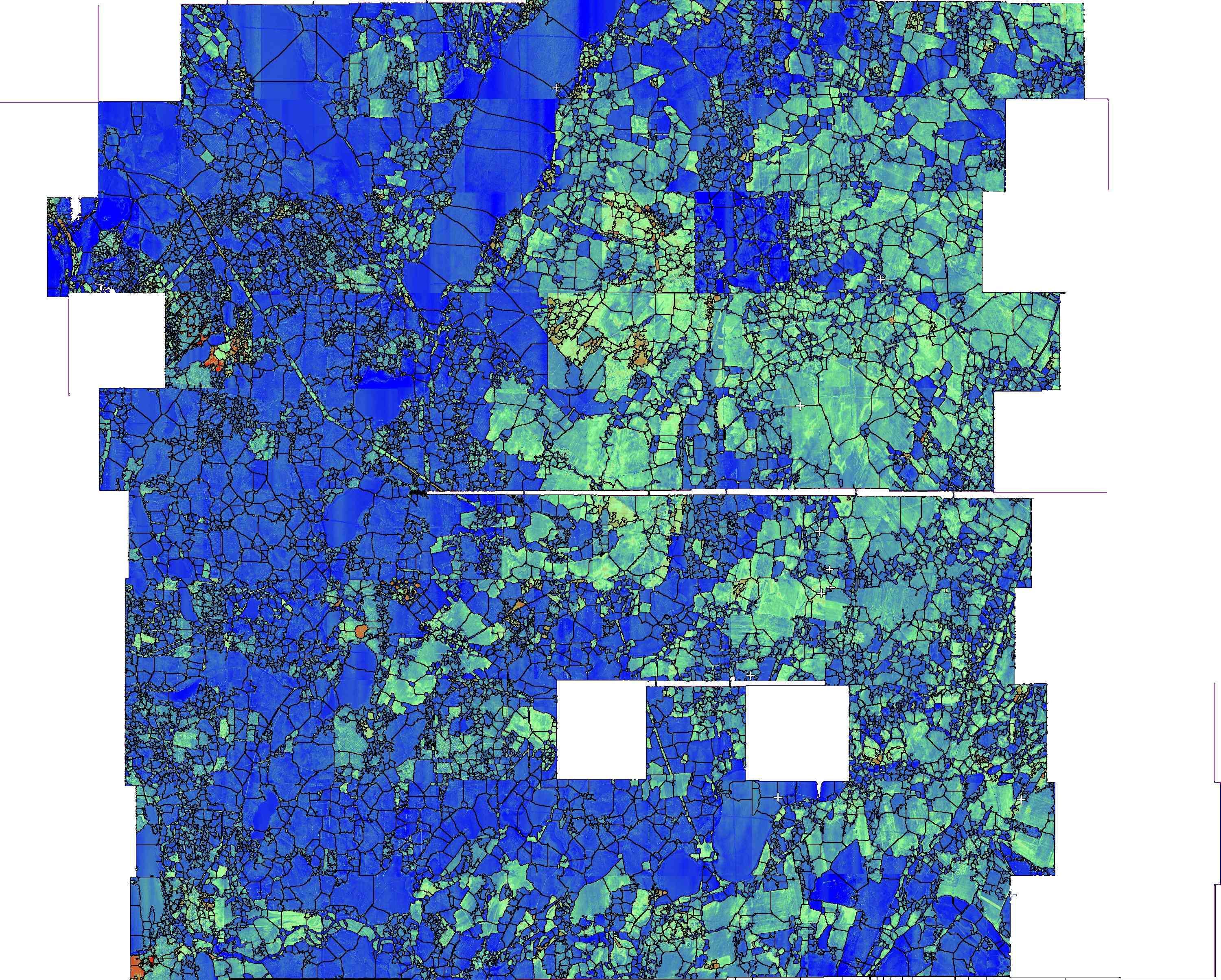
Well, now that I thin about it, segmenting the psuedo color map may easier
given ImageJ's available tools.
I amn curious how you computed the aevrages Did you extract the areas for
each cell, and then compute their mean value. I so were you able to look for
outlier regions with areas >> 120, Can you your cpompue the region median
in addition to mean?
David Webster
On Fri, May 6, 2011 at 11:11 AM, jgodeke <
[hidden email]> wrote:
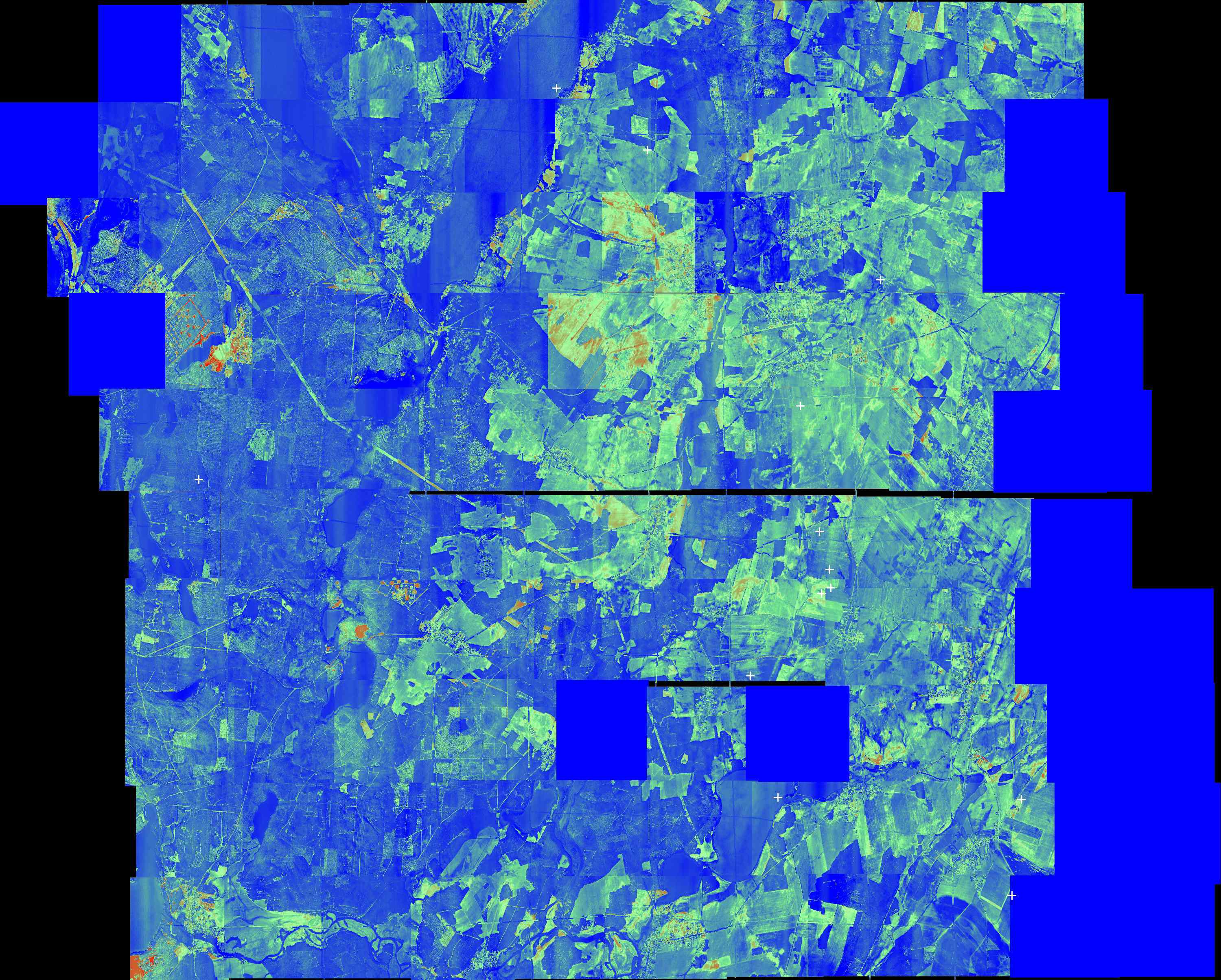
> If an actual temperature map would be greyscale then it exists. Somehow i
> never considered working with it.
>
> --
> View this message in context:
>
http://imagej.588099.n2.nabble.com/Help-concerning-Temperature-Map-tp6338176p6338428.html> Sent from the ImageJ mailing list archive at Nabble.com.
>